NATURAL RESOURCES
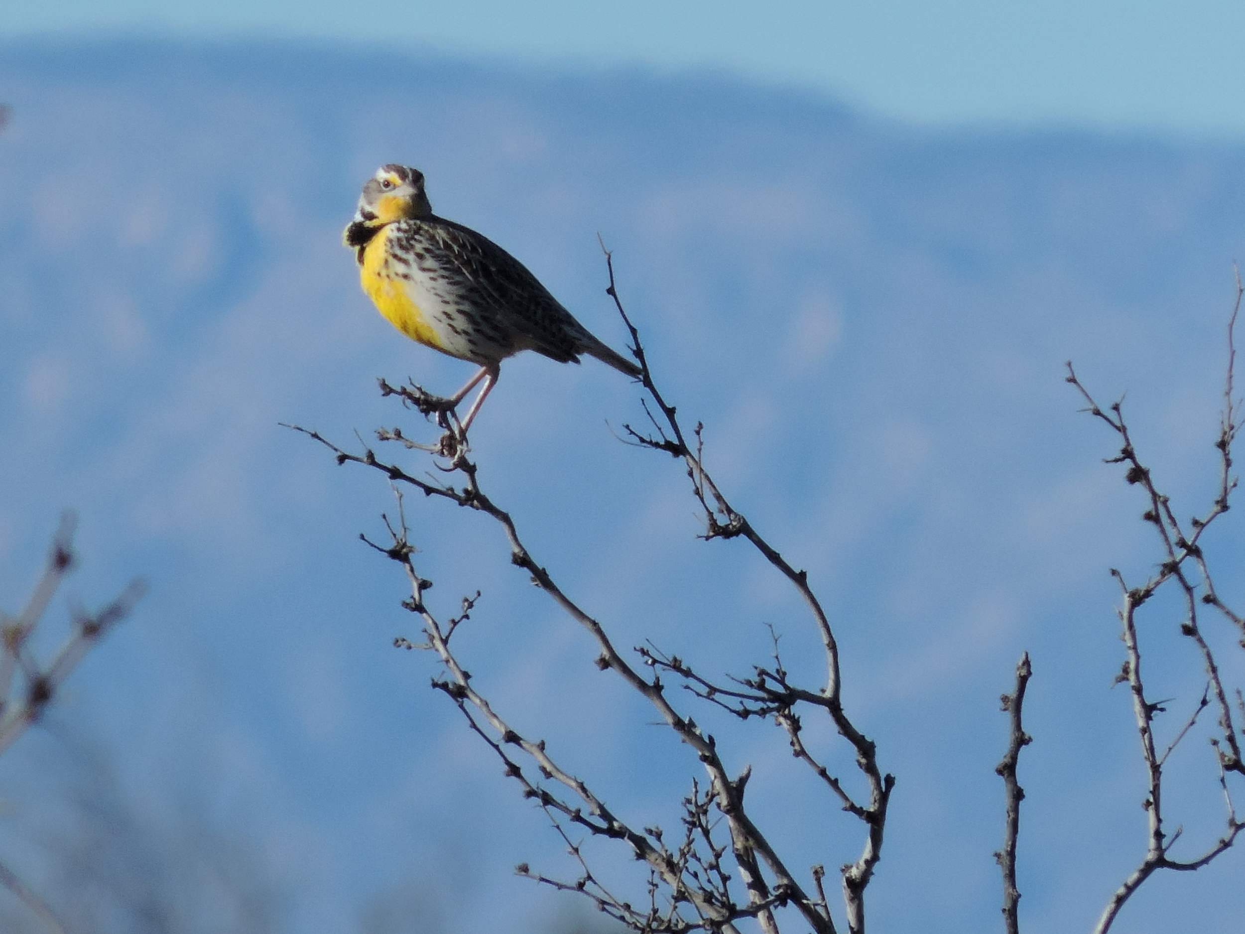
Eastern Meadowlark
From Low Desert to Montane Woodlands
NV5’s biologists are experienced in providing accurate and concise biological resource documents for terrestrial, aquatic, and riparian habitats as well as wetland project sites throughout New Mexico. We provide general and species-specific biological surveys as well as produce all levels of documentation, including technical memoranda, agency-specific reports, full biological assessments/evaluations, wetland determination/delineations, wetland mitigation plans and monitoring documentation, and Clean Water Act (CWA) permitting.
General biological surveys include an inventory of vegetation and wildlife present within a site; analyses of habitat suitability for rare, threatened, and endangered species; and the potential for project effects/impacts to sensitive resources. In addition, we provide identification of migratory bird nest sites; location of raptor roost or nesting sites; documentation of terrestrial wildlife corridors; identification of bat roost locations; and vegetation studies for percent cover, frequency, density, and composition of floristic communities. NV5 also conducts species-specific protocol surveys as required by federal, state, or tribal agencies and maintains a departmental permit to provide surveys within Navajo Nation lands.
WETLANDS
NV5 also has extensive experience in the identification, determination, and delineation of wetlands, including the completion of hundreds of wetland determinations and delineations and coordination with the U.S. Army Corps of Engineers (USACE). NV5 also provides wetland mitigation plans including both conceptual and final plans. Such plans include designs for riparian floodplains, ephemeral waterways and intermittent waterways, perched water tables, and runoff within urban waterways. NV5 conducts monitoring during construction of wetlands as well as long-term monitoring of created wetlands to ensure that required performance standards are achieved.
Chicks in nest.
PERMITTING
Discharges of dredge or fill material into waters of the United States (perennial, intermittent, or ephemeral) rivers, streams, washes, or arroyos and adjacent wetlands within the jurisdiction of the USACE may require CWA Section 404 permitting and Section 401 water quality certification. NV5 identifies ordinary high water mark location, provides complete permit applications and associated 404(b)(1) alternatives analyses when required, or completes a preconstruction notification for the use of the nationwide permitting system when notification is required.
Discharges of stormwater or other municipal runoff into waters of the United States may require coverage under the CWA Section 402 National Pollutant Discharge Elimination System. Municipalities and associated large operators may be required to obtain authorization for such discharges from the U.S. Environmental Protection Agency (USEPA), which is provided as a multi-year Municipal Separate Storm Sewer System (MS4) permit.
NATURAL RESOURCES SERVICES INCLUDE:
Endangered Species Act Compliance
Migratory Bird Act Compliance
Clean Water Act (Section 404/401) Permitting and Compliance
Alternatives and Fatal Flaw Analysis
Biological Surveys (general plant and animal)
Biological Surveys for Threatened and Endangered Species
Protocol Surveys (e.g., southwestern willow flycatcher, eagles, prairie chicken etc.)
Avian Morbidity/Mortality Studies
Fish Studies
Pre-construction Nest Surveys and Relocation
Wetland Determinations, Delineations, Reporting, Mitigation, and Design
Biological Assessments and Evaluations
Resource Management Plans (RMPs)
Habitat Conservation Plans (HCPs)
Section 7 Consultations
Invasive and non-native Species Management
Mitigation Plans, Implementation, and Monitoring
Construction Oversight and Monitoring
Conditional Letter of Map Revision (CLOMR)
The latest Gps technology
The latest Cloud-based technology systems from ESRI and Trimble are utilized by our teams in the office and in the field.


